POINT CLOUD SCANNING AND SITE SURVEYS
Introducing Point Cloud Scanning
Are you thinking of getting a 3D laser survey of your site or project?
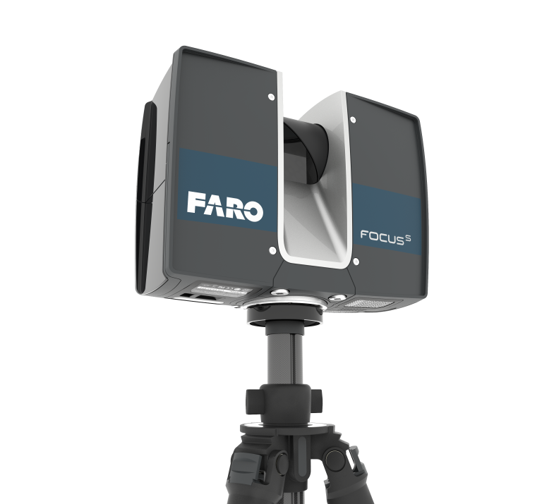
CAD Services offers point cloud scanning surveys for detailed as-built plans or 3D BIM models. Using the latest scanning technology, a laser survey captures accurate existing building data and site information you need for your project. Utilising the latest colour point cloud scanning technology enables CAD SERVICES to survey and digitise areas to a very high level of detail. Having our own in-house lightweight point cloud scanner means we can attend site at relatively short notice. We are able to offer 3D laser scans nationwide, predominantly covering South East England and in particular London and Essex.
Contact us on 01268 242800 for our next day availability.
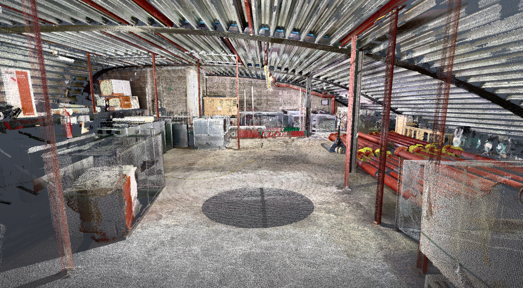
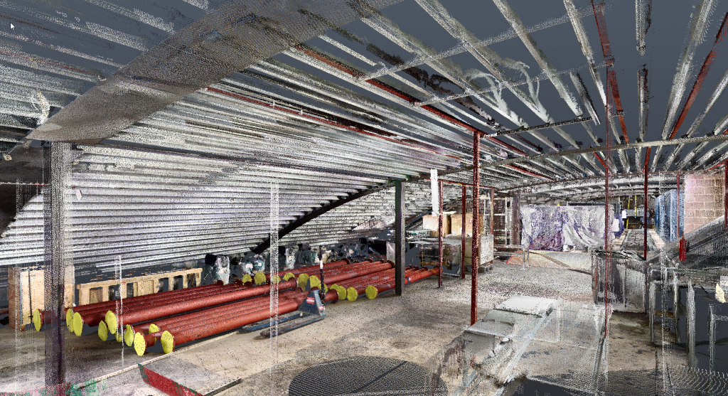
A ‘3D point cloud’ is produced from each individual scan which is then digitally stitched together to provide a full 3D model of the object which has been scanned. A point cloud scanning survey assists our coordination teams with extremely high quality, accurate and detailed information in full colour, allowing the creation of more accurate plans and 3D models.
Laser scanning is an extremely effective and time efficient method providing a precise and full detailed survey. The data captured by the point cloud scanner is then registered and can be used in Autodesk ReCap, Revit or Navisworks for verification of existing services and can be used as a tool to develop the services installation against a proposed design. Point cloud scanning can also be utilised to record the various stages of services installations or against as installed 2D information.
BENEFITS OF 3D POINT CLOUD SCANNING:
• Allows the creation of accurate plans, elevations, sections and 3D models using a point cloud as a background reference
• Eliminates the possibility of human error in any recorded measurements
• Allows virtual tours of a scanned site using the point cloud allowing extraction of measurements of any objects from the point cloud
• Complete precision from all objects being captured down to the smallest detail


